Roan Mountain Round Bald

Categories:

Roan Mountain Round Bald

CountyCarter County, TN
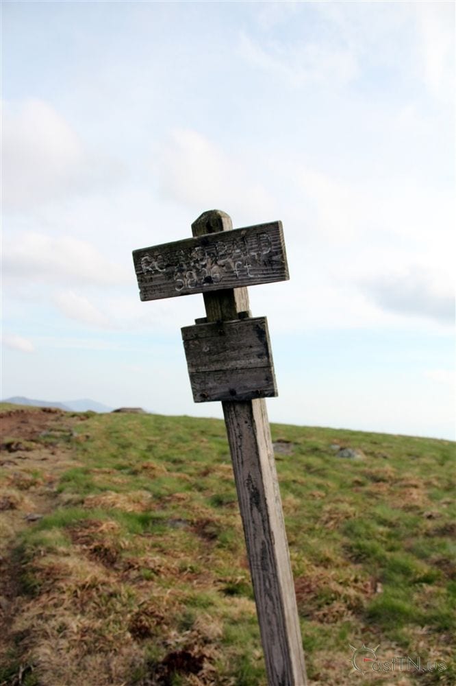
Elevation5,826 ft
Latitude36.107265
Longitude-82.103963

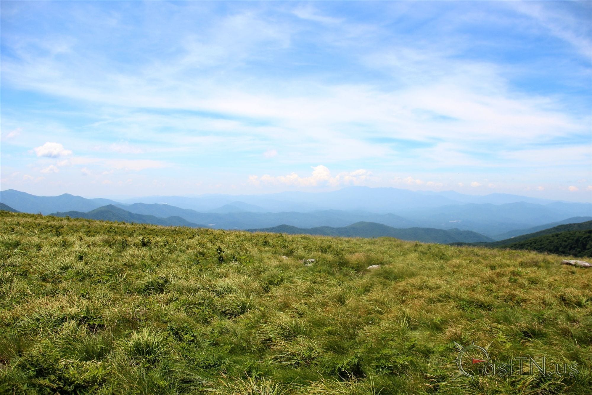
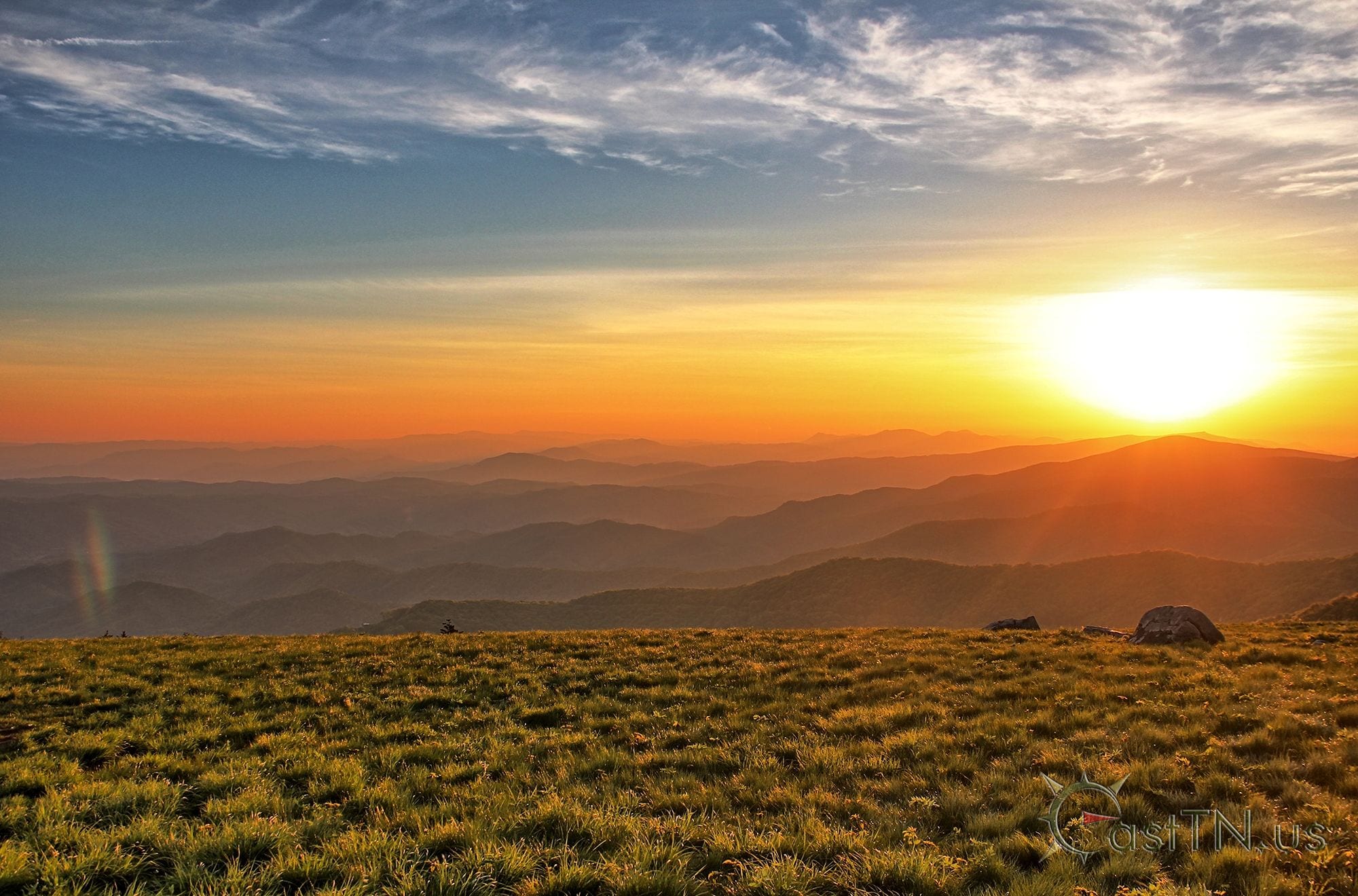
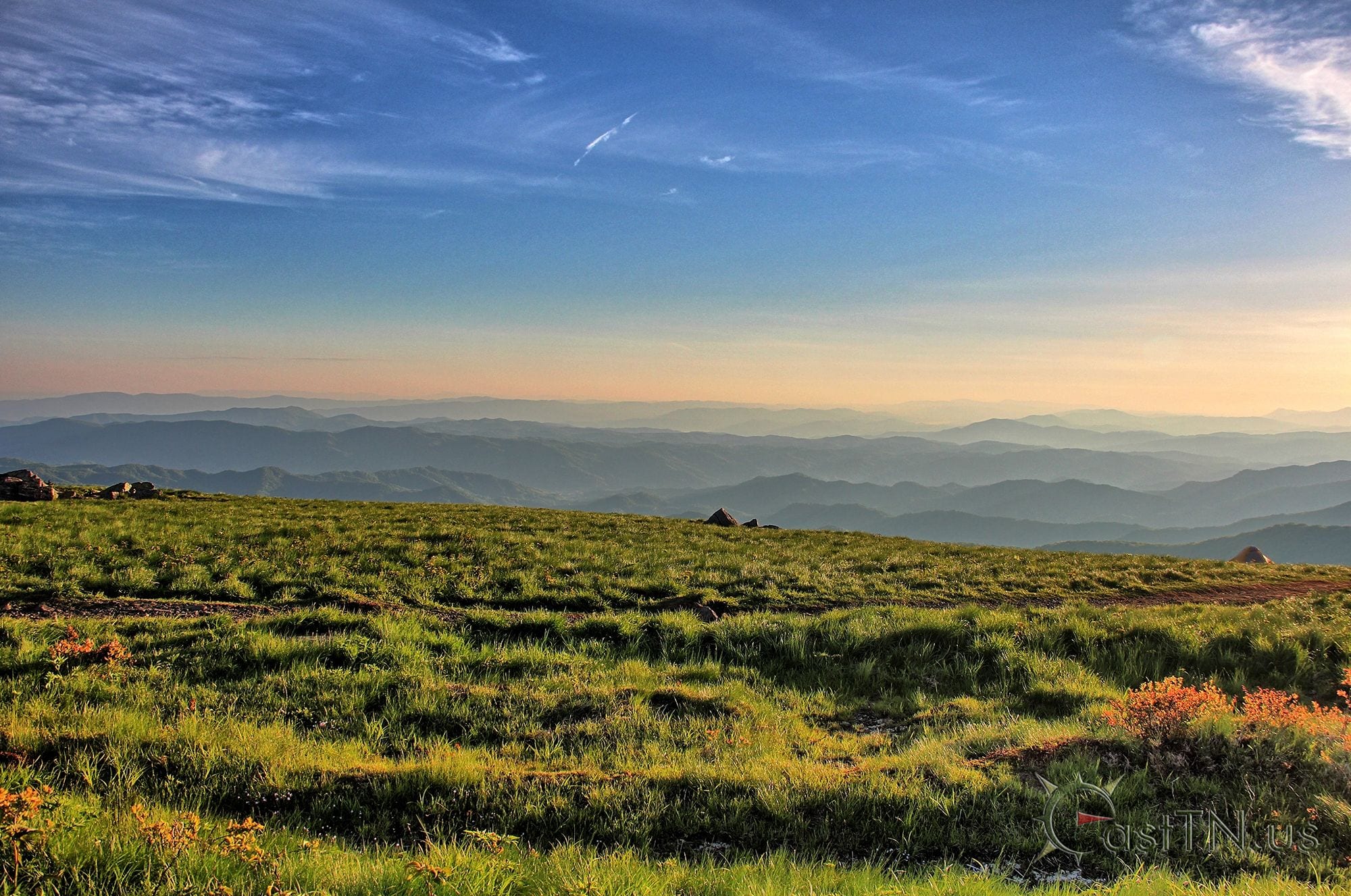
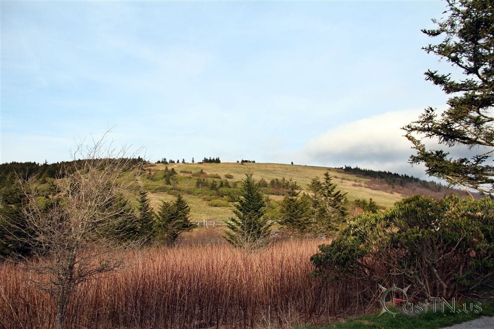
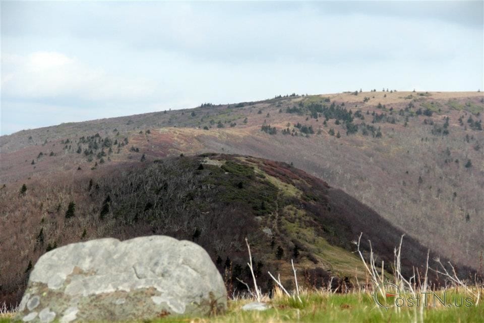
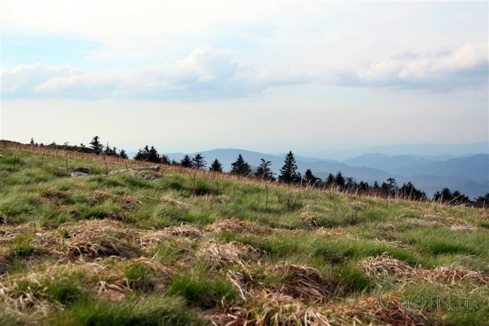
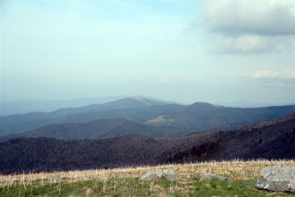
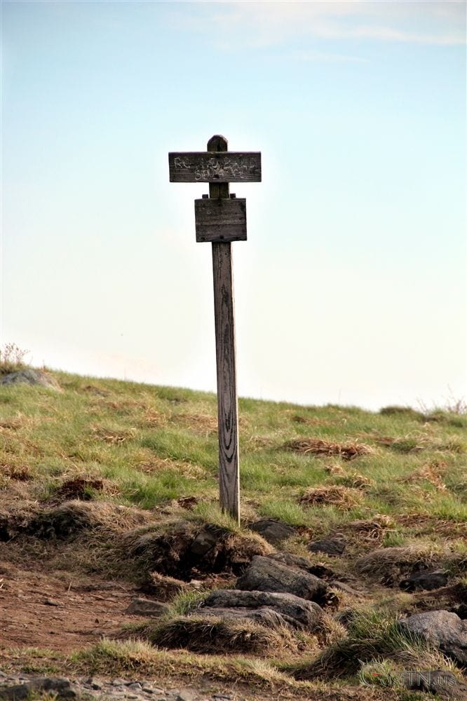
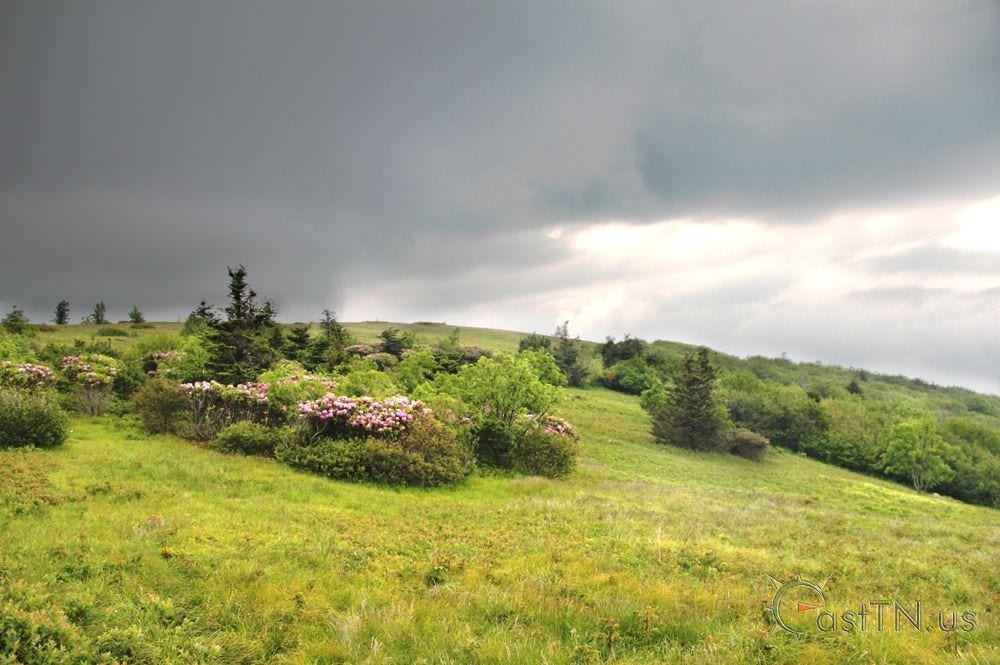
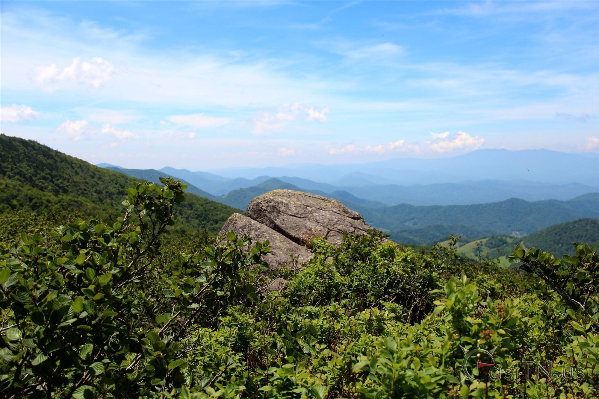
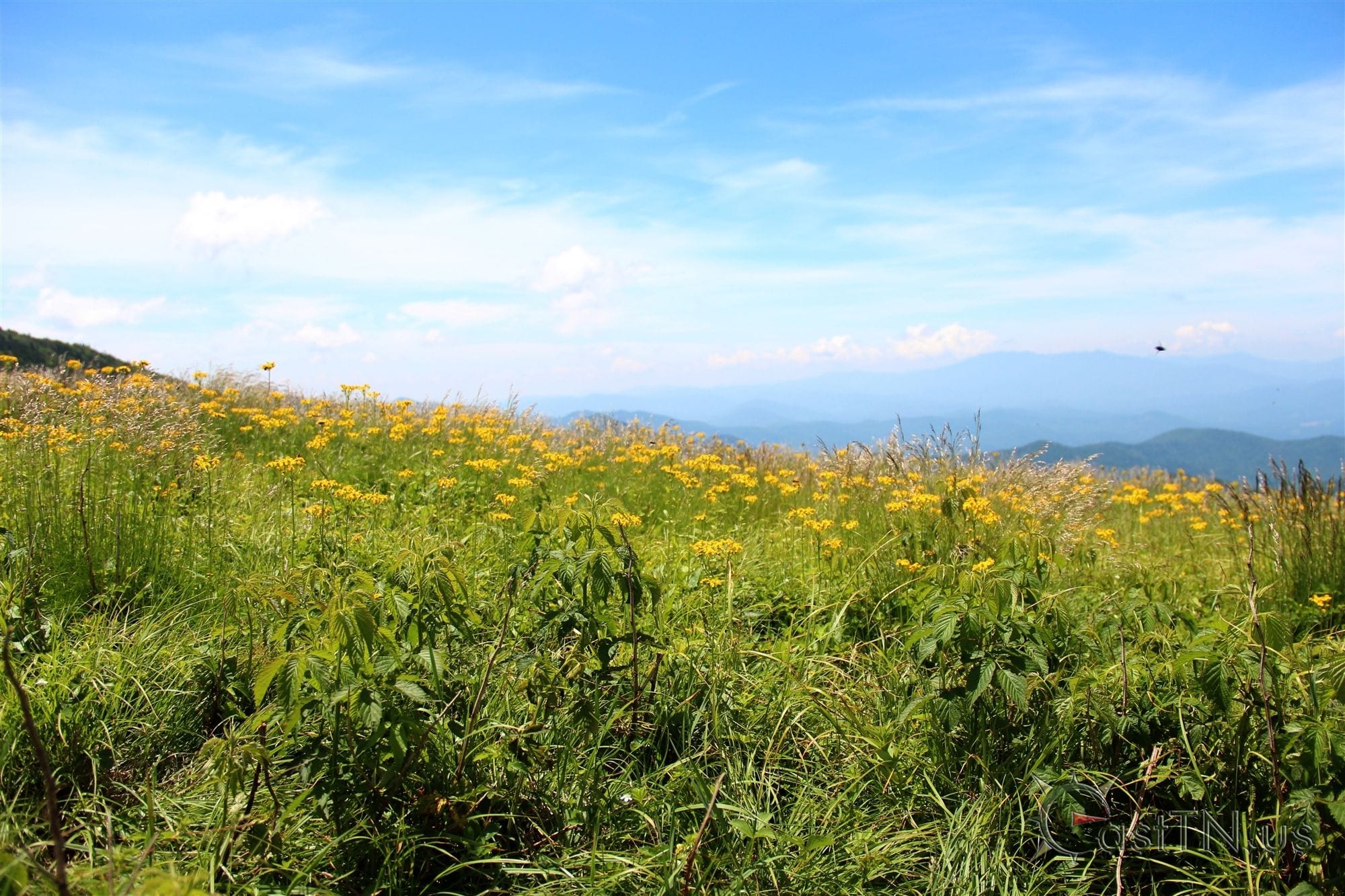
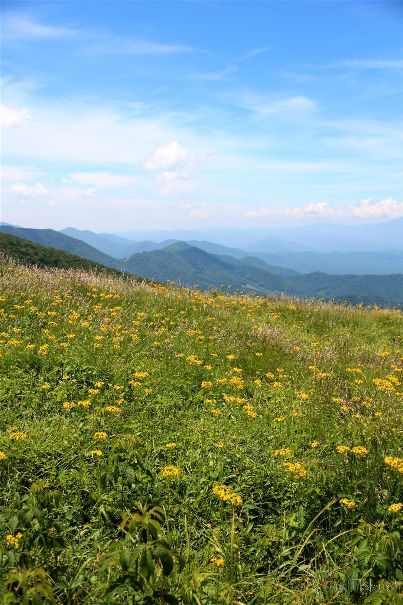
Round Bald rises near the center of the Roan massif. It has an elevation of 5,826 feet, to the east of Carver's Gap and the west of Grassy Ridge Bald. The Appalachian Trail (following the state border) crosses its summit, first passing through a sparse treeline on the mountain's northwestern slope before emerging in the bald area near the top.
Drone aerial photography and video by AboveGround.Media

Nearby Geocaches


Roan Mountain Round Bald Photos

Roan Mountain Round BaldRoan Mountain Round BaldRoan Mountain Round BaldRoan Mountain Round BaldRoan Mountain Round BaldRoan Mountain Round BaldRoan Mountain Round BaldRoan Mountain Round BaldRoan Mountain Round BaldRoan Mountain Round BaldRoan Mountain Round BaldRoan Mountain Round BaldRoan Mountain Round Bald

We sell prints of many of our photos. If you are interested you can view our gallery of photos available for purchase.

View Gallery


Roan Mountain Round Bald Map

Get Directions