Laurel Fork Falls

Categories:

Laurel Fork Falls

CountyCarter County, TN
Elevation2,300 ft
Latitude36.272628
Longitude-82.134916

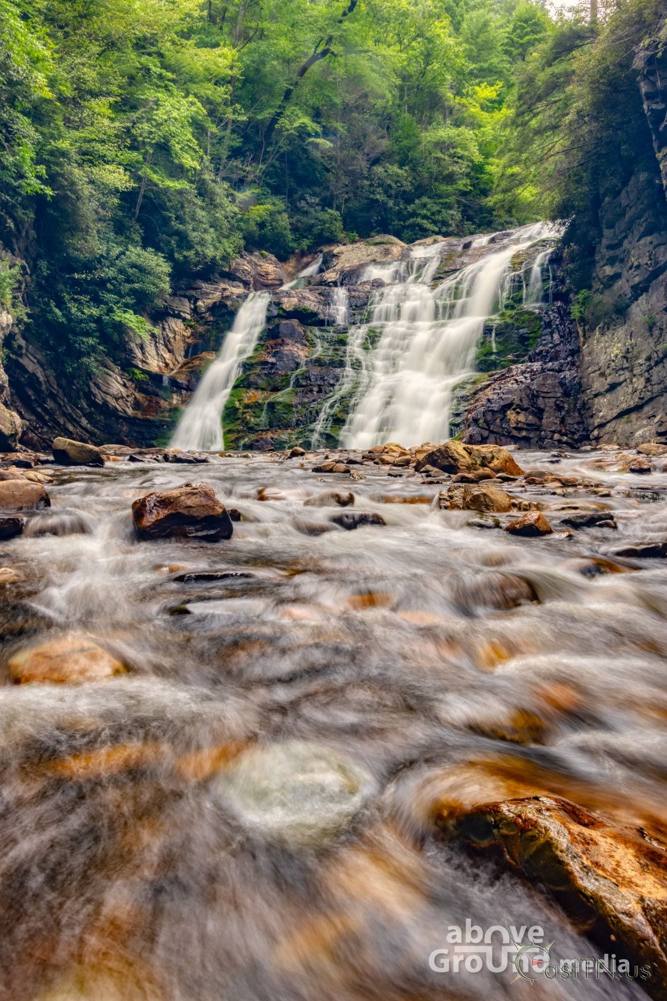
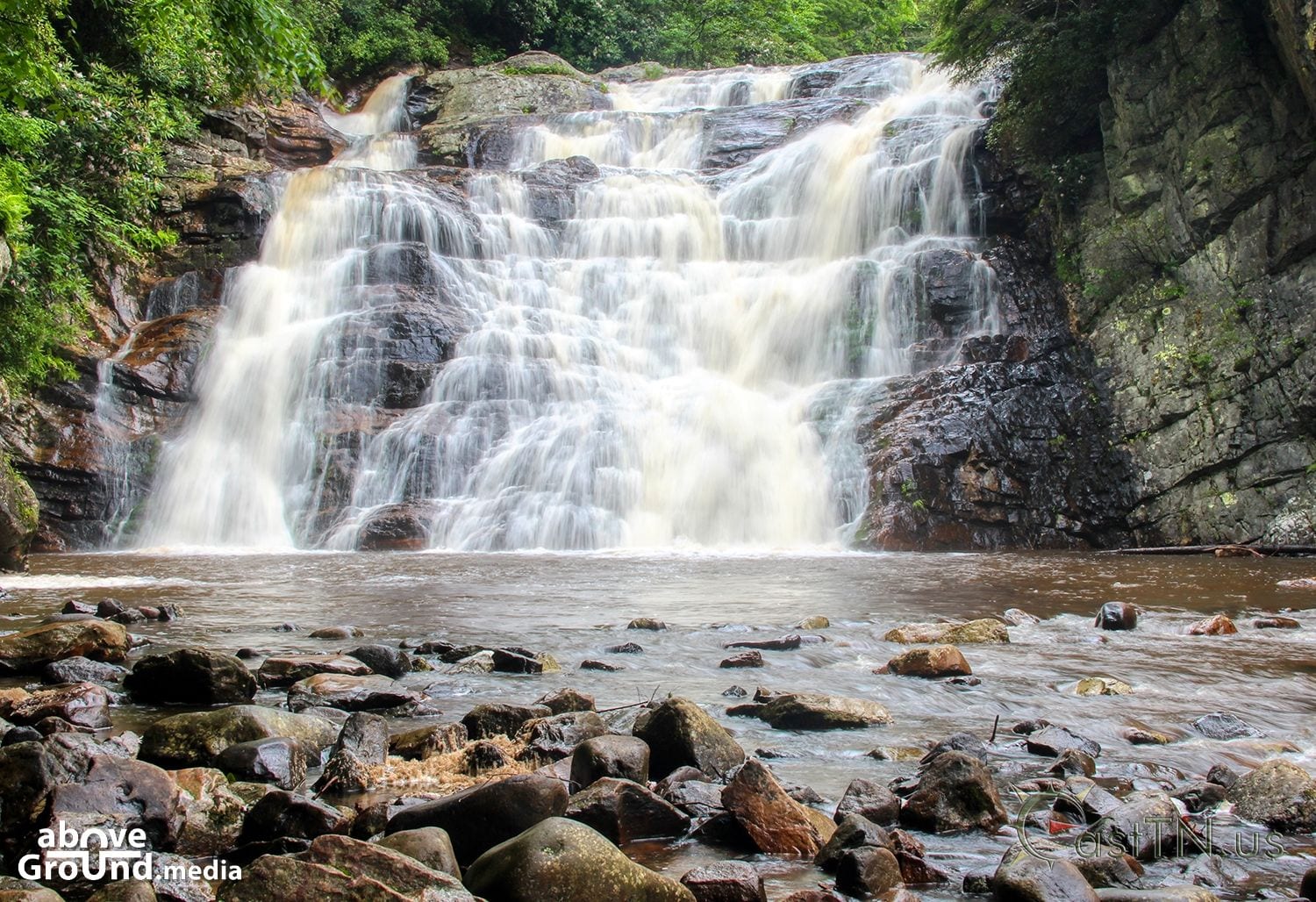
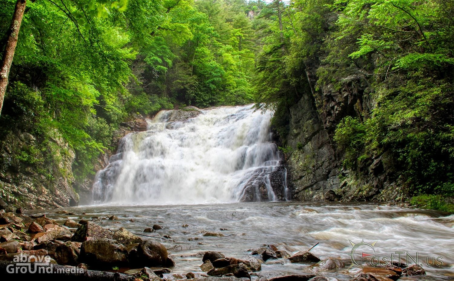
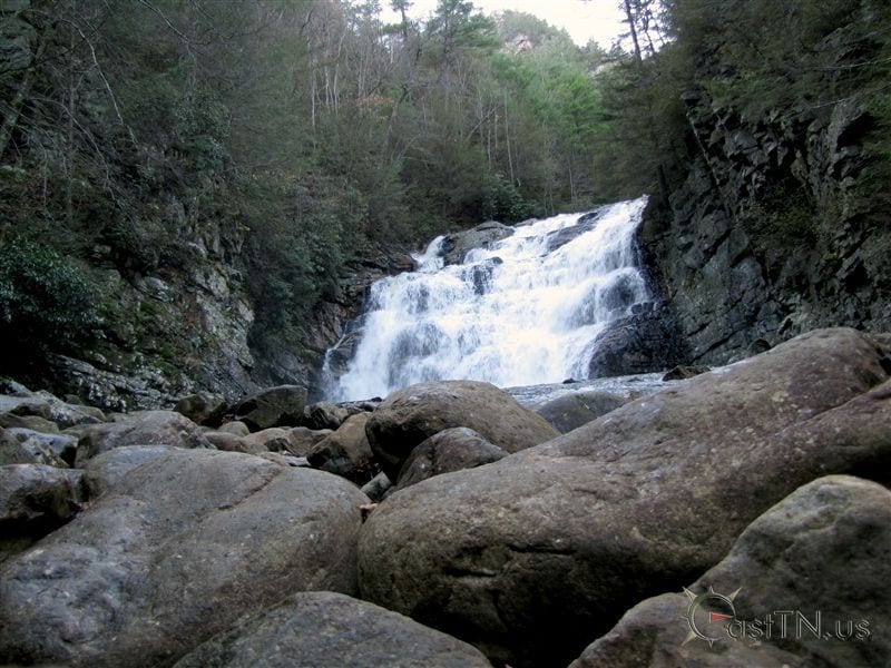
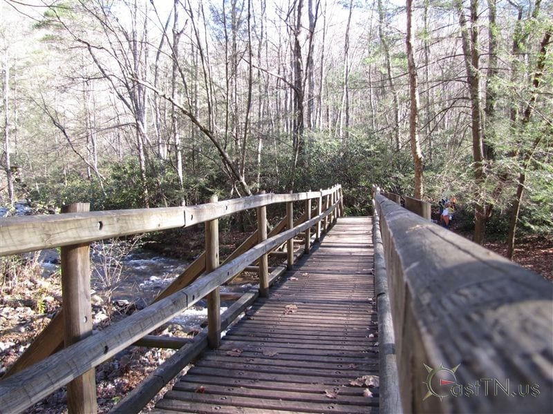
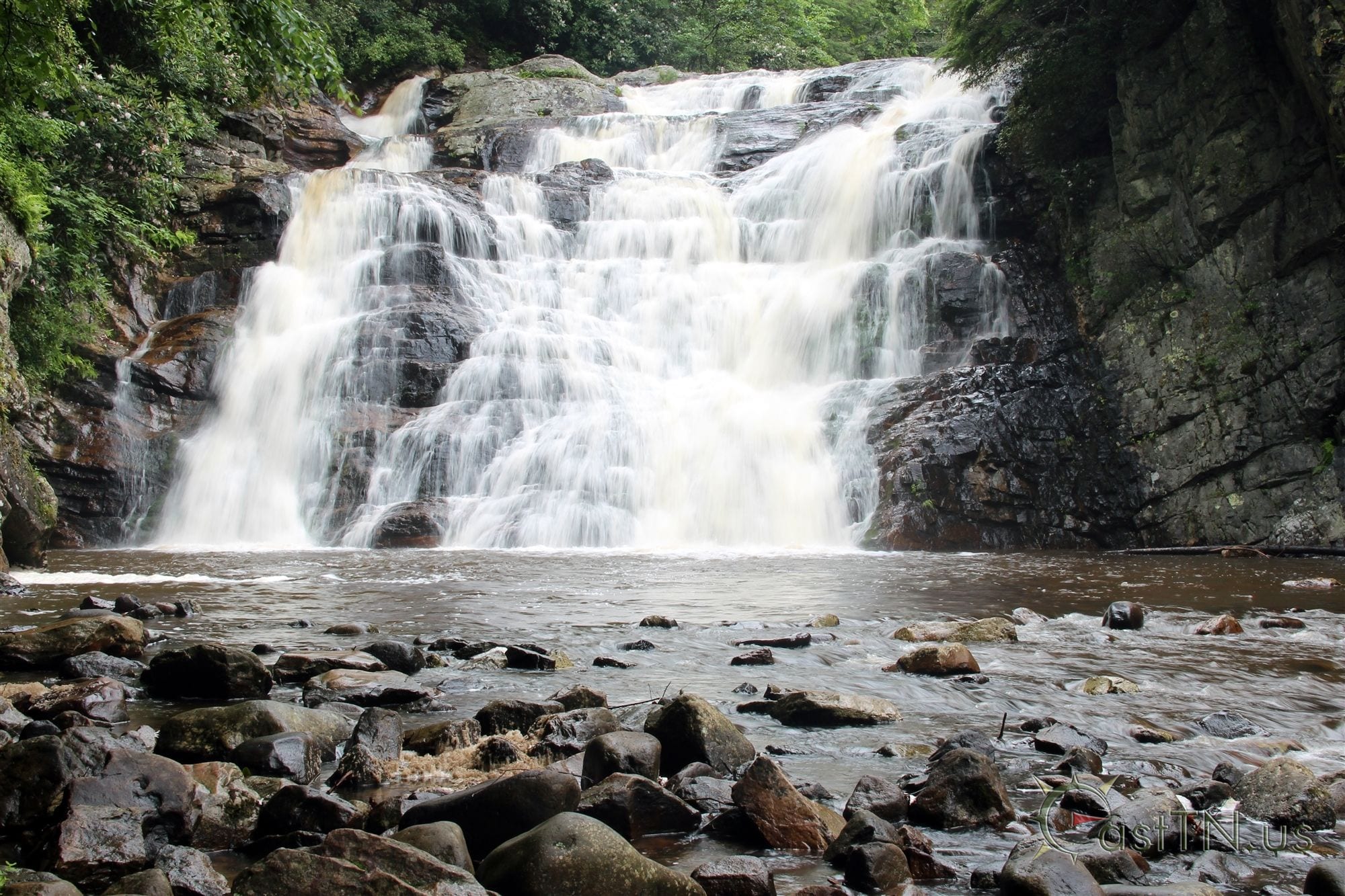
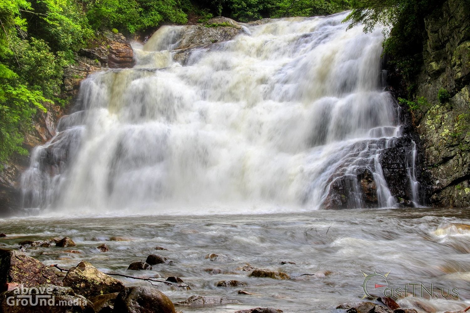
A 55' waterfall in Hampton, TN on Laurel Fork Creek. This is a very popular destination for hikers along the Appalachian Trail and one of the most popular waterfalls in Northeast Tennessee.


Drone aerial photography and video by AboveGround.Media

Nearby Geocaches


Laurel Fork Falls Photos

Laurel Fork FallsLaurel Fork FallsLaurel Fork FallsLaurel Fork FallsLaurel Fork FallsLaurel Fork FallsLaurel Fork FallsLaurel Fork FallsLaurel Fork Falls

We sell prints of many of our photos. If you are interested you can view our gallery of photos available for purchase.

View Gallery


Laurel Fork Falls Map

Get Directions