| County | Sevier County, TN |
|---|---|
| Elevation | 6,643 ft |
| Latitude | 35.562779 |
| Longitude | -83.49854 |
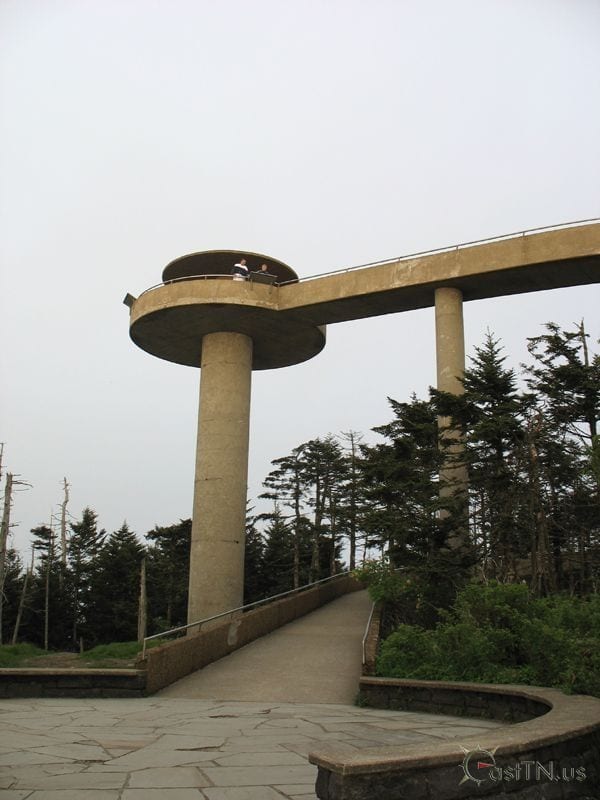
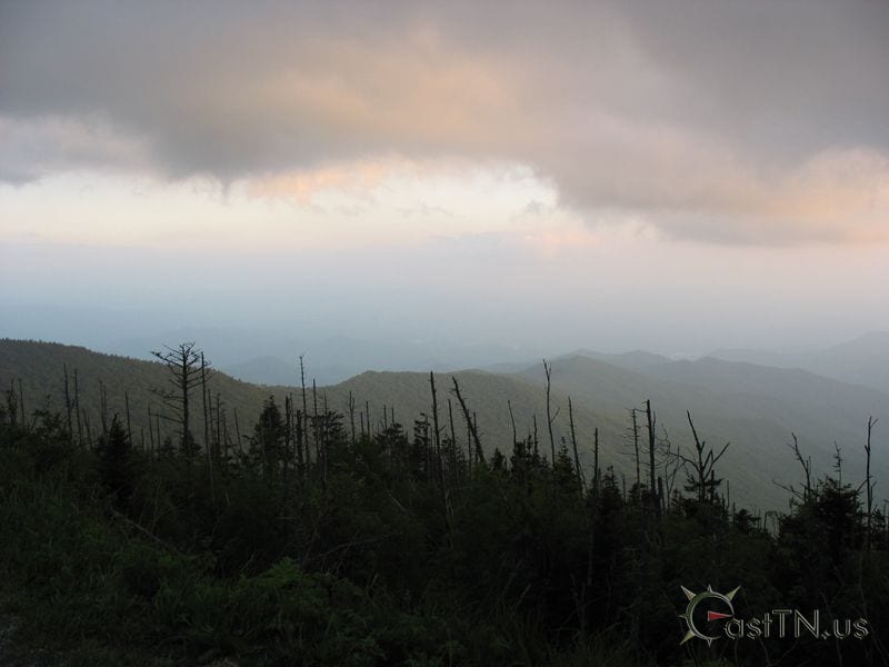
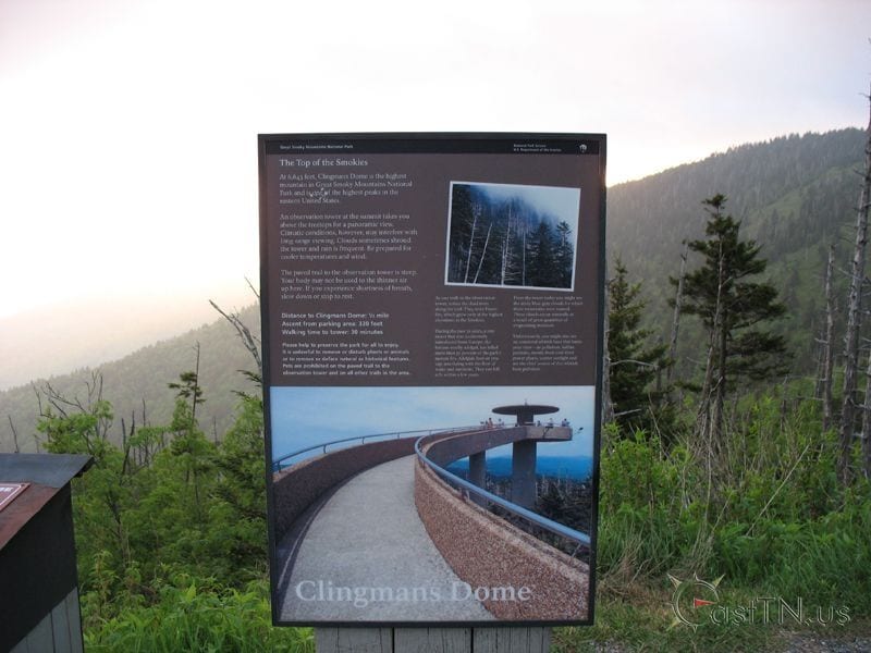
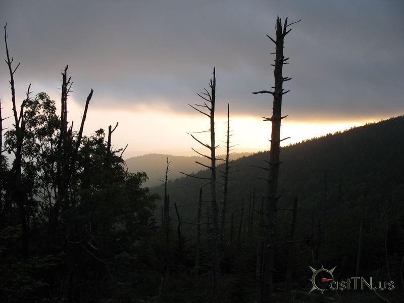
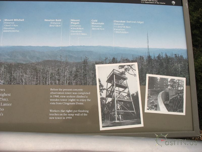
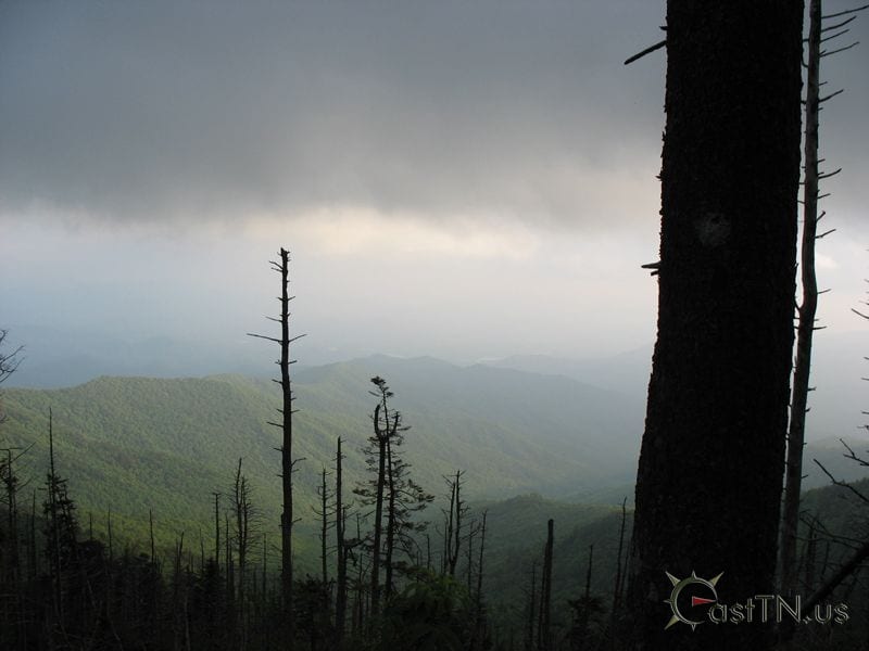
At an elevation of 6,643 feet, Clingsman Dome is the highest point in Tennessee and the second highest point east of the Mississippi River. The Dome is also the highest point on the Appalachian Trail and in the Great Smoky Mountains National Park. The peak is located on the Tennessee - North Carolina border. A wooden fire tower stood on this peak until 1959 when a 55 ft concrete observation tower was completed. On an infrequent clear sunny day views extend over 100 miles into seven states.