| County | Johnson County, TN |
|---|---|
| Elevation | 2,000 ft |
| Latitude | 36.594013 |
| Longitude | -81.815046 |
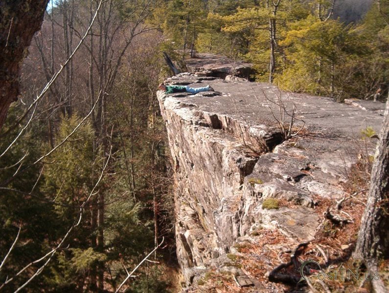
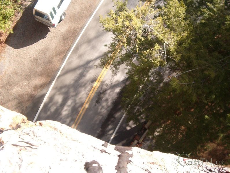
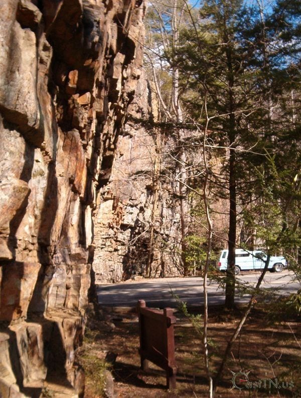
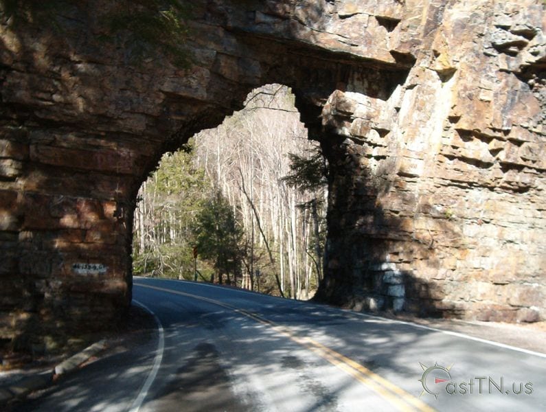
Backbone Rock was named because of its appearance of a large natural rock wall. It stands at 75ft high and 20ft think. At first site you would almost guess it was man made.
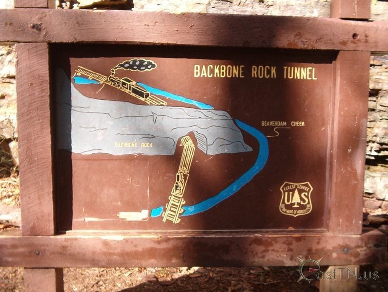
In 1901 the Empire Mining Company blasted the tunnel through the wall to make way for Beaver Dam Railroad. The railway connected the Sutherland community to the Virginia-Carolina line.